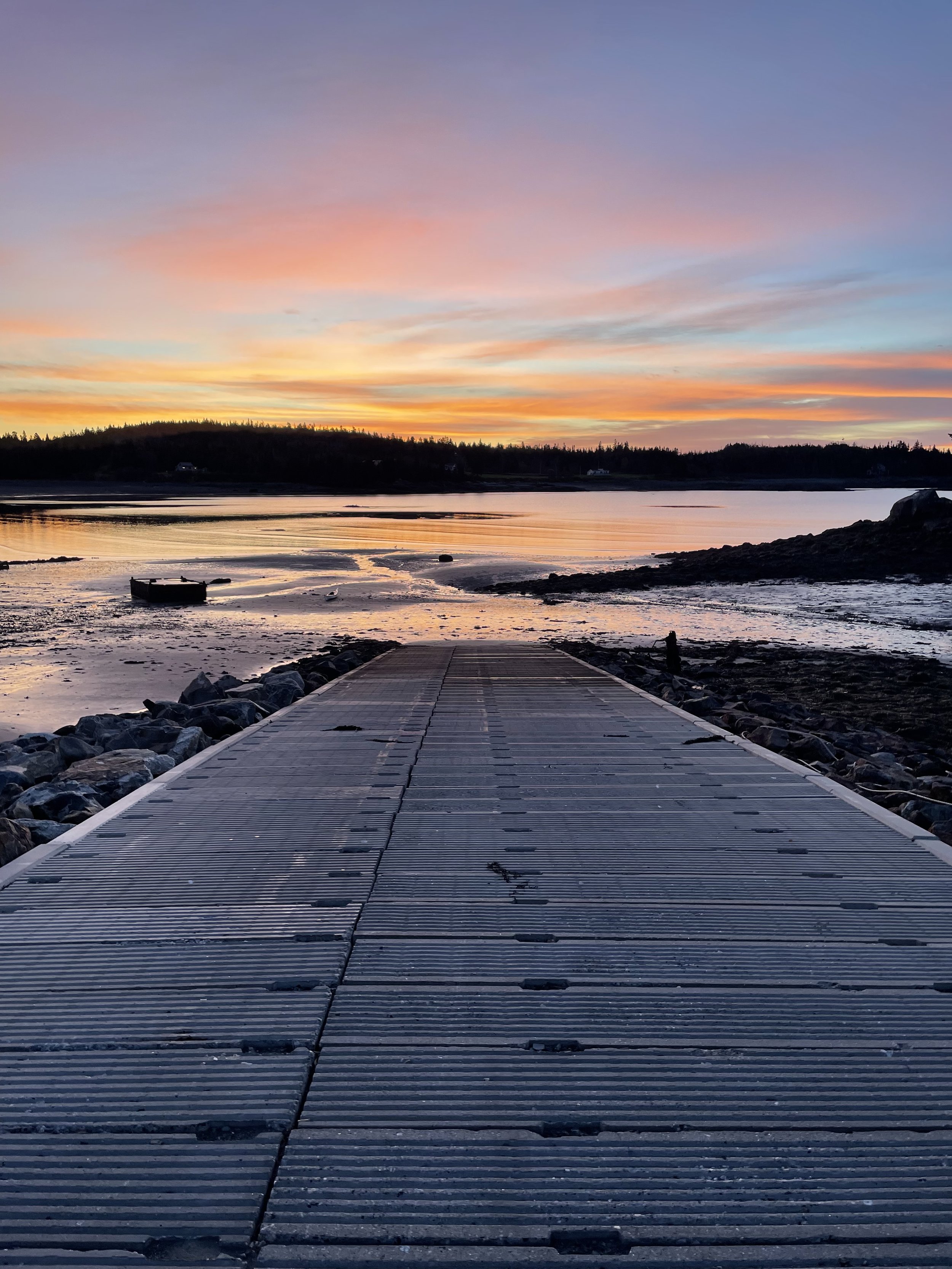
The Bold Coast
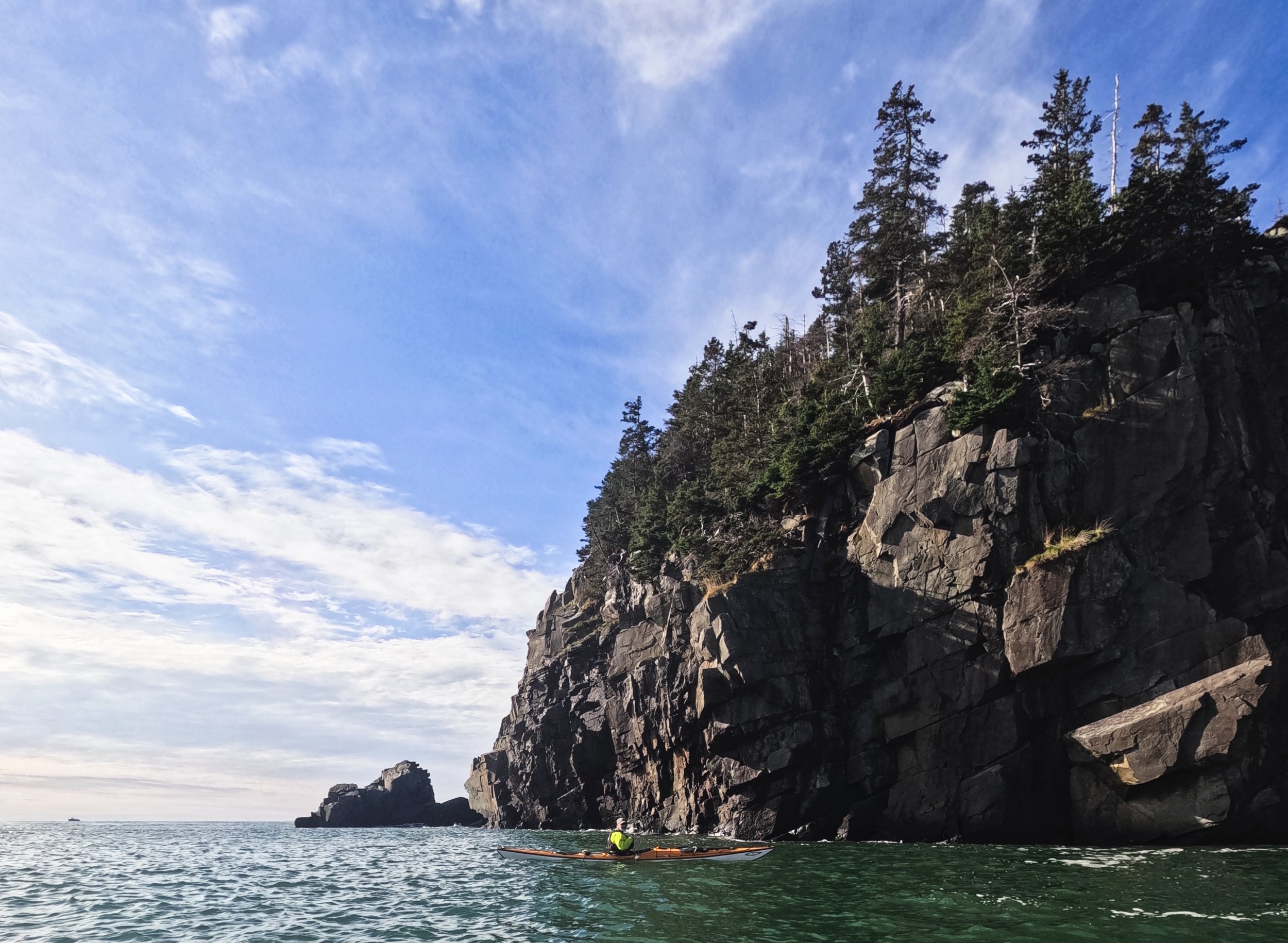
Okay, there’s “Downeast Maine,” which describes a region roughly from Penobscot Bay or Mount Desert Island up to the Canadian Border. Then, there is the “Bold Coast,” which is the extra-strength version of an already strong espresso. This is the part of the coast where you, undeniably, are subject to the full extent of the rugged coast of Maine. Particularly notable is the section from Cutler to West Quoddy Head (the Easternmost point of the US…yes, it’s called West Quoddy…).
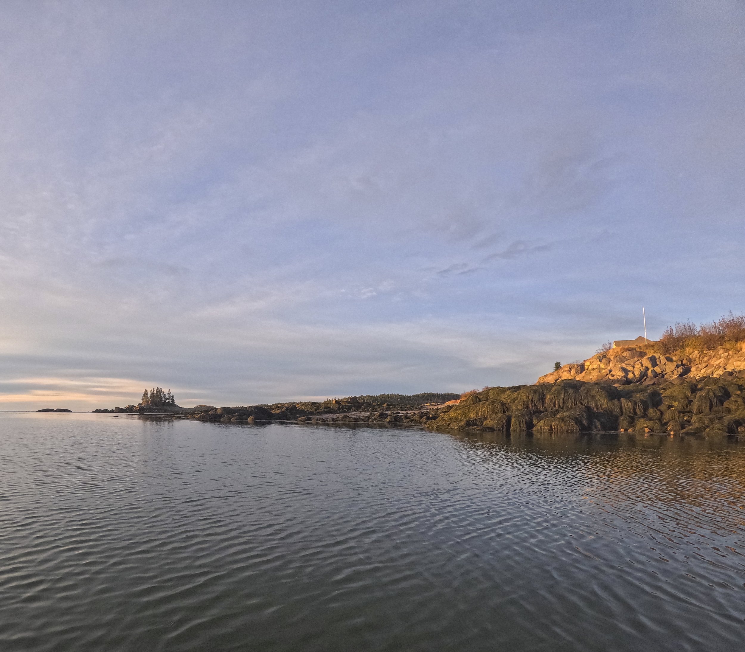
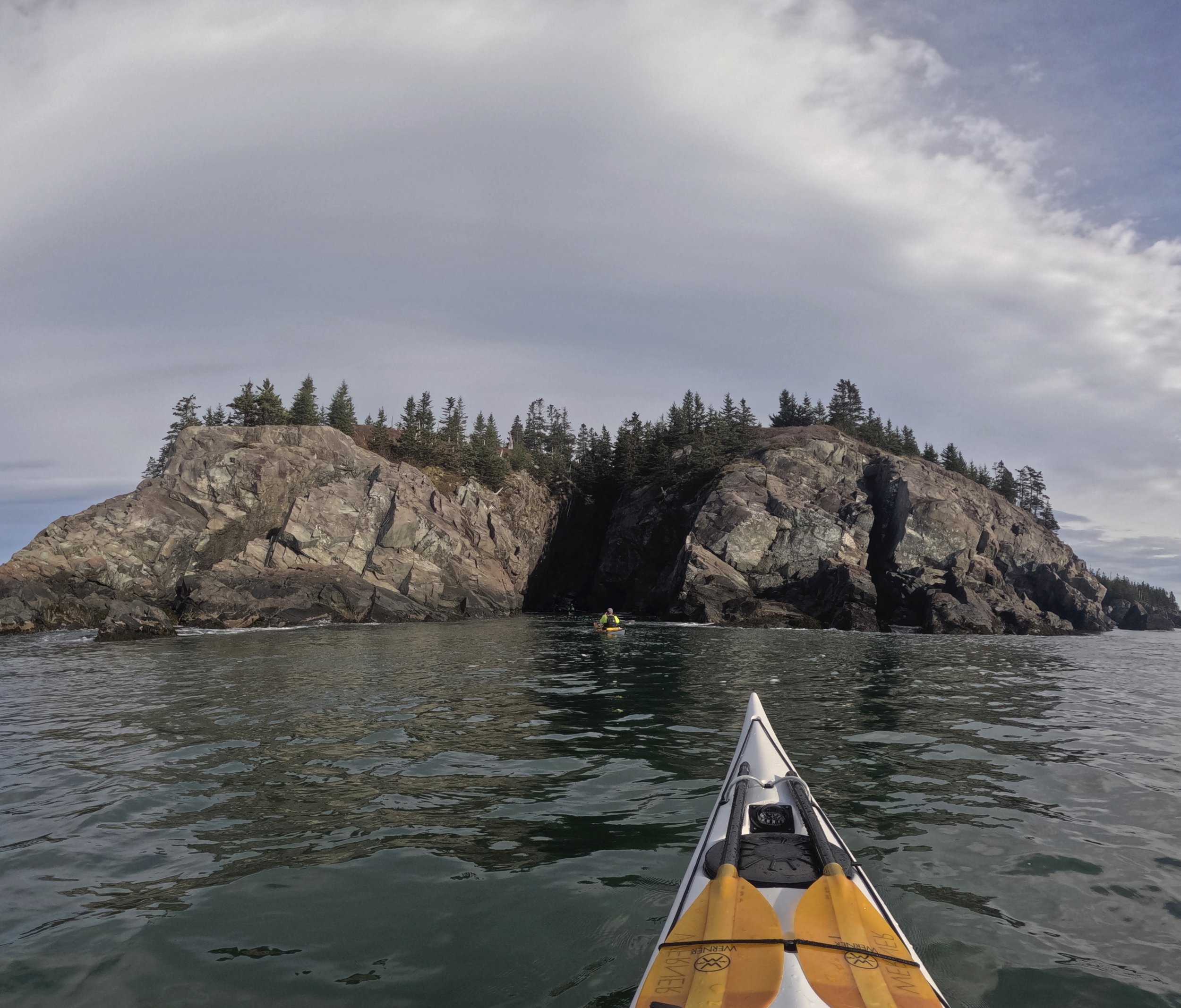
It’s a section of coast that a friend rightly described as having a forbidding reputation due in part to many formidable factors coming together, including towering cliffs, limited access or ability to get off the water, and full exposure to what the Atlantic can throw at it. Thanks to the Bay of Fundy, this area is also subject to an enormous tidal exchange, which results in impressive currents and large tides. It’s also a part of the coastline where help isn’t close. A paddler must be well-informed, educated, and prepared to play in this part of Maine.
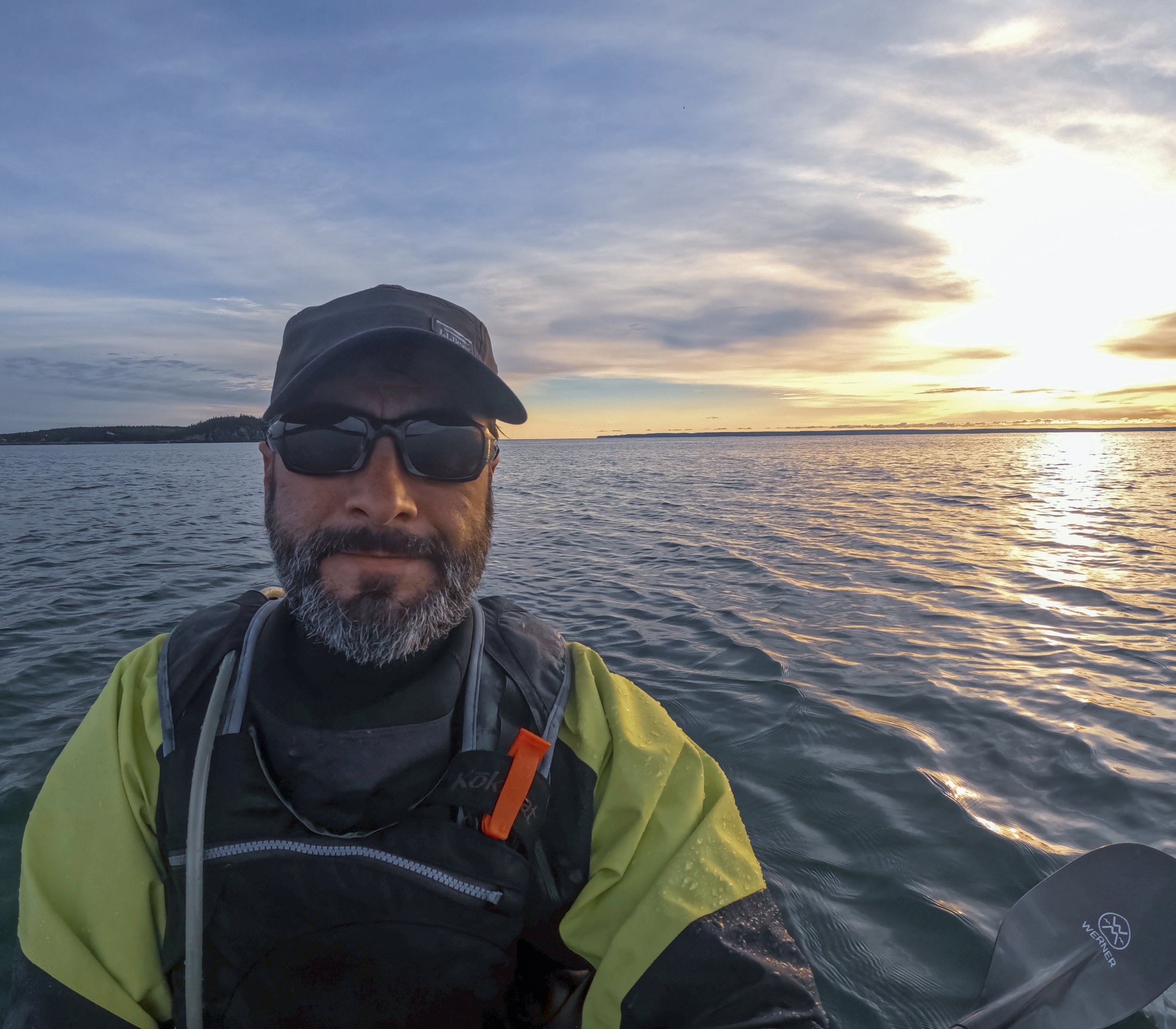
We selected an ideal weather window and favorable tides for this journey from Bailey's Mistake, around West Quoddy Head Light, and into Lubec. The majestic cliffs and geometric rock features continued to impress. Rounding West Quoddy Head, we basked in the delight of seeing the Lighthouse—which always brings an unreasonable amount of joy to paddlers. Finally, we fought the beginning of the ebb as we made our way into Lubec. Any later in the tide, and we would have come up with another plan instead of paddling against the flow into Lubec.
Don’t take this one lightly, friends! But if you’re prepared to paddle here, the Bold Coast doesn’t disappoint.

FloatingTrails.com